
Visiting the territory of Peccioli by motorbike is a fully enjoyable experience.
Riding a motorbike along the roads that connect the villages around Peccioli is not only fun and safe, but also cool and shaded in the summer; such routes allow you to reach the most interesting places of the area in short steps, enjoying panoramas, medieval buildings, cultural and historical attractions as well as plenty of works of contemporary art, which transformed the territory of Peccioli into an open-air museum over the last thirty years.
The itinerary that we suggest is divided into 9 steps and can be covered in one day. Each step is between 5 to 10 km long and can be covered at a leasurely pace in about 15/20 minutes, all along country roads with very little traffic.
General information
In short: about 45Km, country roads with little traffic, 7 villages, works of cultural and artistic interest
Gas station: Provincial road La Fila
Auto electrician, tire center, mechanic: Industrial Area La Fila
Motorcycle workshop: Peccioli downtown
Motoclub Valdera: www.facebook.com/motoclubvaldera
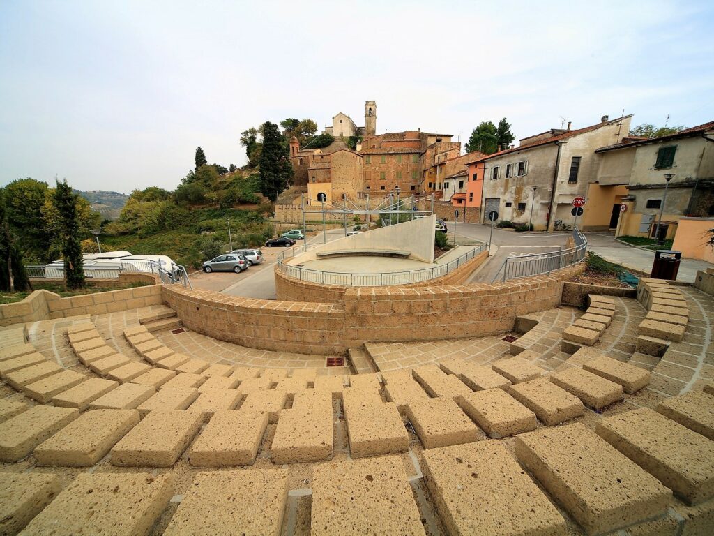
1st step – Peccioli
GPS Coordinates: 43.54764118024735, 10.720366286391279
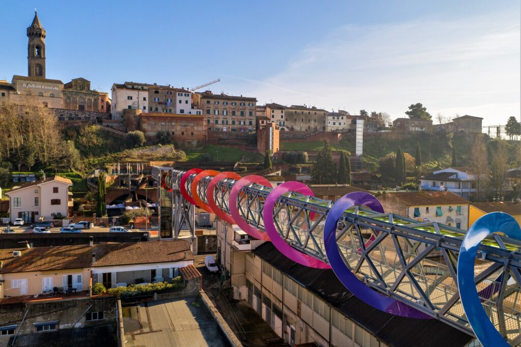
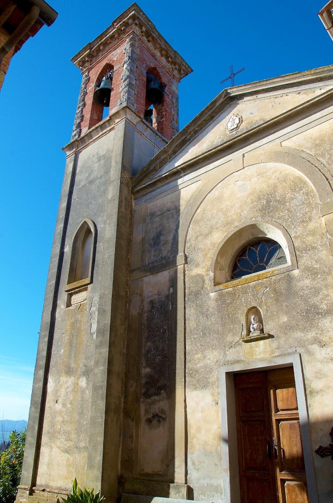
The first stop is in Peccioli. Here your motorbike can be parked in a multi-storey car park, from which a comfortable elevator takes you directly to the old town.
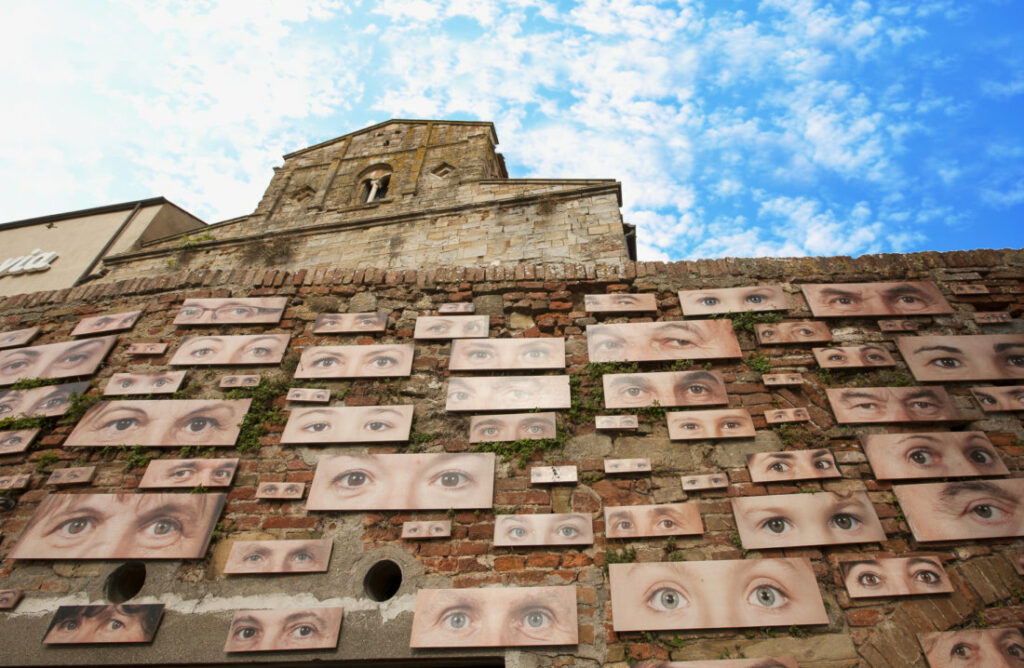
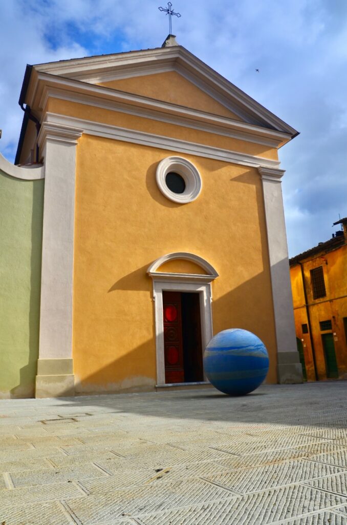
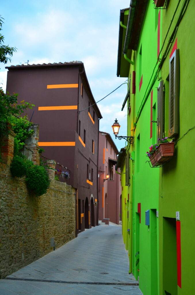
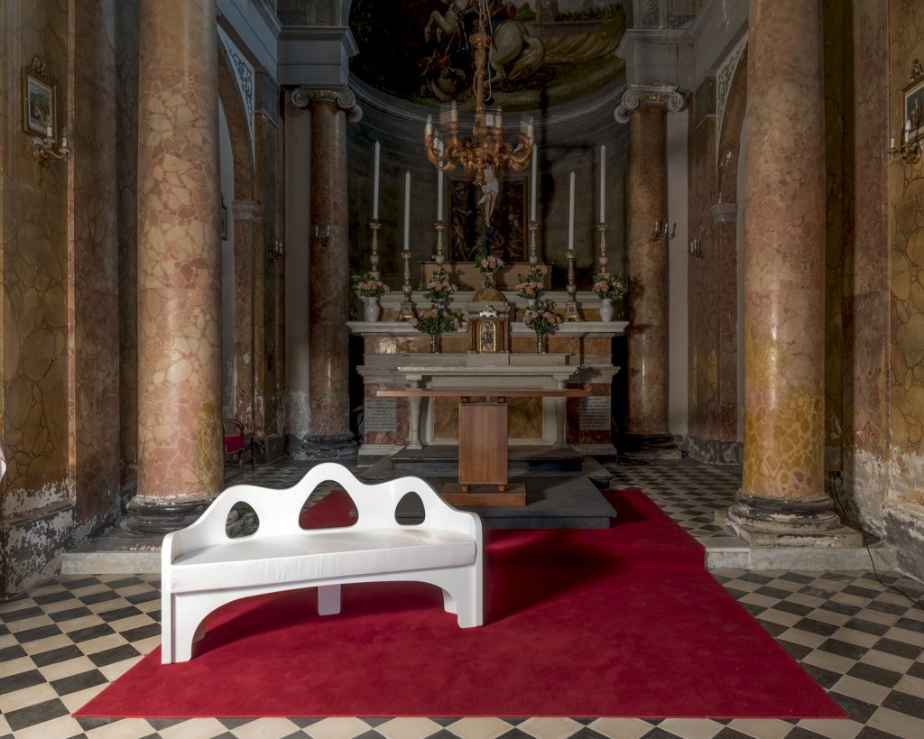
Once you get out of the elevator, you will admire a walkway on the left with the work Endless Sunset by Tuttofuoco; walking towards the center, you will be greeted by “Gaze of Peccioli“, a work by Vittorio Corsini, and then by the parish church of San Verano, which we suggest you visit.
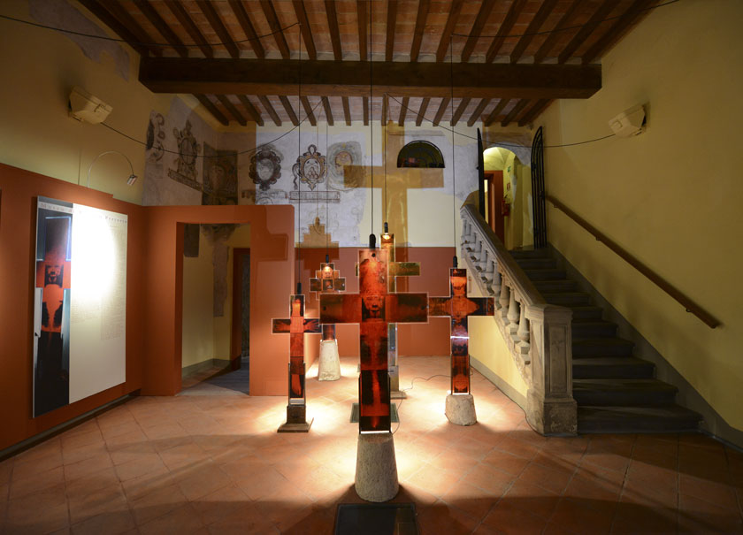
In the area of the parish church and in Piazza del Popolo, you can admire reproductions of a Tabernacle by Benozzo Gozzoli and visit the Museum of Palazzo Pretorio; while walking along Via Roma towards Piazza del Carmine, we advise you to walk through some little alleys, made unique by the installations “Light-wired alleys”.
Before getting to the Church of Madonna del Carmine, we suggest you also to take the stairs and have a stop at Castellaccia, a panoramic viewpoint embellished by installations by Vittorio Messina.
-
Endless Sunset – Patrick Tuttofuoco -
Lo sguardo di Peccioli – Vittorio Corsini -
Polo Museale
2nd step – Legoli
Distance: 10Km
GPS Coordinates: 43.571743507022276, 10.795212507714604
Driving Instructions: Peccioli >> SP41 >> SP11 >> Via di Legoli >> Legoli
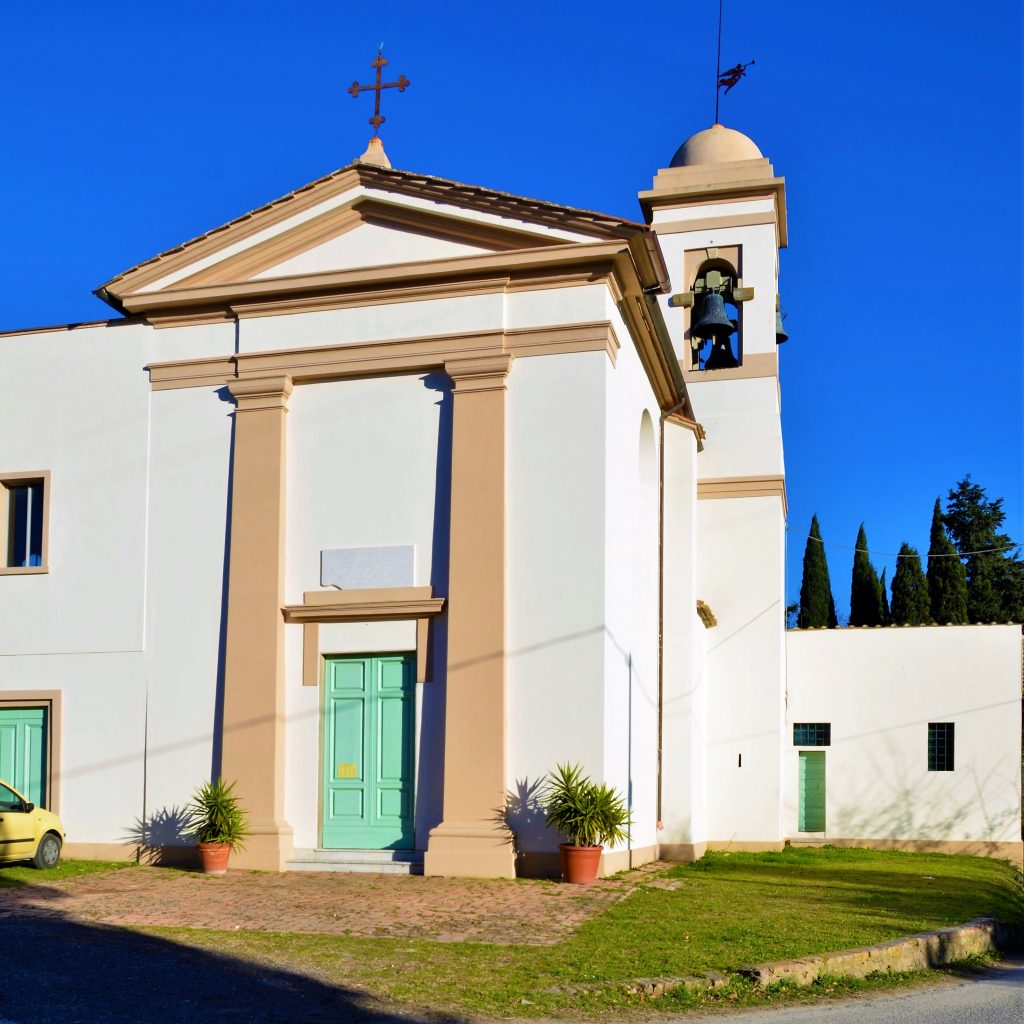
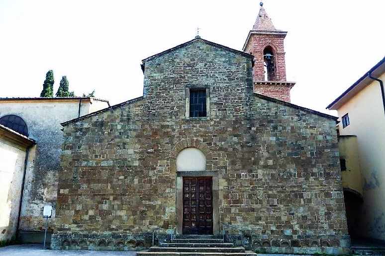
Leaving the multi-storey car park, turn to the right and take the SP41 road that leaves Peccioli; once you reach the small village of Legoli, you can enjoy a visit to the old town center, where you can find the parish church of St. Giusto and St. Bartolomeo, the installation “Four mute men” and, in the nearby Chapel of Santa Caterina, the Tabernacle by Benozzo Gozzoli, a work of the great Florentine painter who stayed in Legoli between 1479 and 1480.
A convenient parking is available in the central square in town, from which you can access the old village directly on foot and go up to the parish church.
-
Quattro uomini muti – Vittorio Messina -
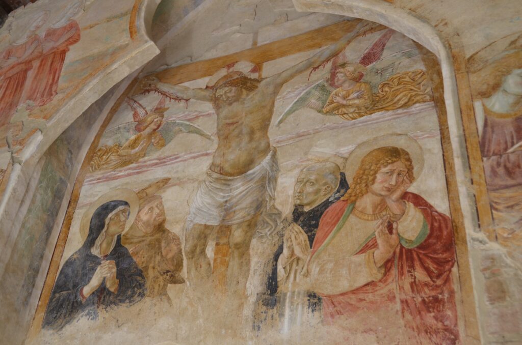
Tabernacolo – Benozzo Gozzoli -
Piazza principale
3rd step – Triangolo Verde, installations by Naturaliter and David Tremlett
Distance: 6Km
GPS Coordinates: 43.56212469429096, 10.8060994659228
Driving Instructions: Legoli >> Via Ripalta >> Via di Monti >> Triangolo Verde
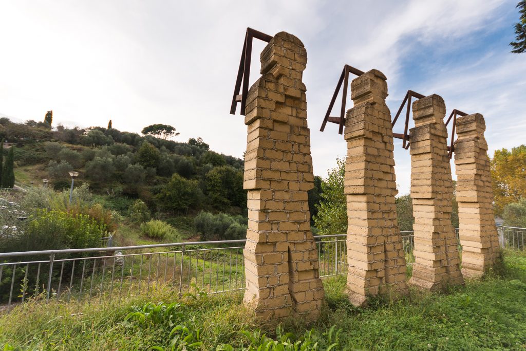
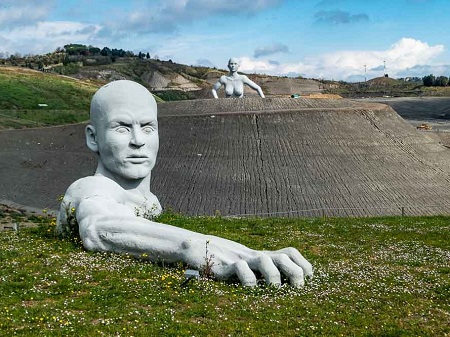
The third step of this itinerary takes you to the Triangolo Verde, located in the area of the Waste Treatment and Disposal Plant by Belvedere S.p.A. in Legoli; from here you can admire the installations by Naturaliter and Tremlett, which are located inside the plant.
Given the peculiarity of the place, it is possible to access the area only by reservation. Please, contact the office of Belvedere S.p.A.: www.belvedere.peccioli.net
A little bit of history
In 1997, the Municipality of Peccioli decided to industrialize the management of waste, with the aim of making a previous uncontrolled landfill safe; the initiative transformed a problem into an opportunity and the company Belvedere S.p.A, founded for this aim, de facto became a point of reference for the planning, innovation and development of the territory.
In 2021, the Municipality of Peccioli was invited to the Biennale of Architecture in Venice, as an example of a resilient community thanks to a choice that marked its history.
-
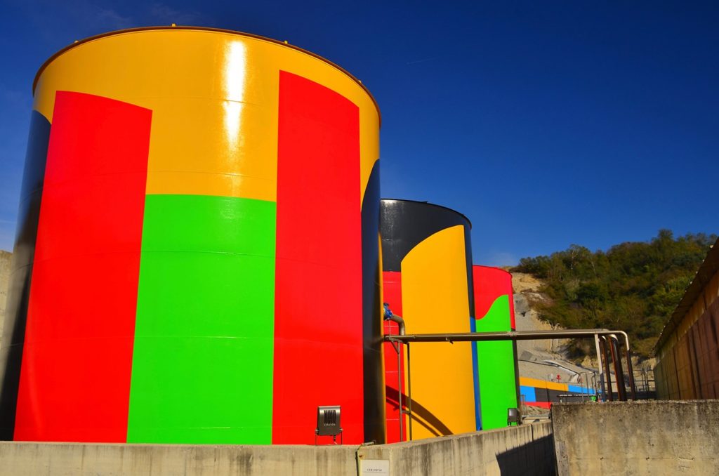
Senza titolo – Tremlett -
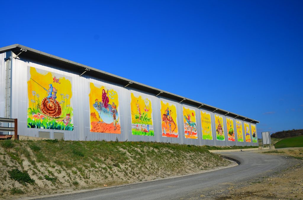
All’altezza delle margherite – Staino -
Presenze – Naturaliter
4th step – Ghizzano
Distance: 9Km
GPS Coordinates: 43.539074315839784, 10.791661552378665
Driving Instructions: Triangolo Verde >> Via di Monti >> Via Poggetta >> Via Mercantino >> Strada comunale di Ghizzano >> Ghizzano
The origins of village of Ghizzano are prior to the 10th century AD; in recent years it became famous thanks to some installations by the artists Patrick Tuttofuoco, David Tremlett, Alicja Kwade, Irene Fortuyn and Robert O’Brien, who characterized the village with their works and made it unique.
Arriving from the municipal road, it is possible to leave the motorbikes in the parking lot located at the entrance to the village and visit the town and the works on foot.
-
Alicjia Kweide – Solid Sky -
David Tremlett – Via di Mezzo -
Ospiti – Fortuyn & O’Brien
5th step – Cedri
Distance: 10Km
GPS Coordinates: 43.509885159209986, 10.818125372681429
Driving Instructions: Ghizzano >> Via Santa Maria >> Via della Bonifica >> Via di Cedri >> Cedri
The small village of Cedri sits on a hillock bordered by the streams Isola and Roglio, which join a little further downstream between the hamlets of Montelopio and Ghizzano.
Its origins date back to the early medieval period, when in Cedri was a fortified castle, which no longer exists today.
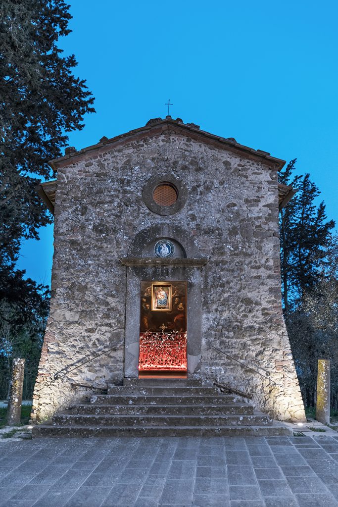
Beside the village, you can admire the Church of San Giorgio in Cedri, where you will find Sincronico, an installation by Vittorio Corsini.
6th step – Montelopio
Distance: 6Km
GPS Coordinates: 43.51076312638464, 10.77186410396734
Driving Instructions: Cedri>> Via di Cedri >> Montelopio
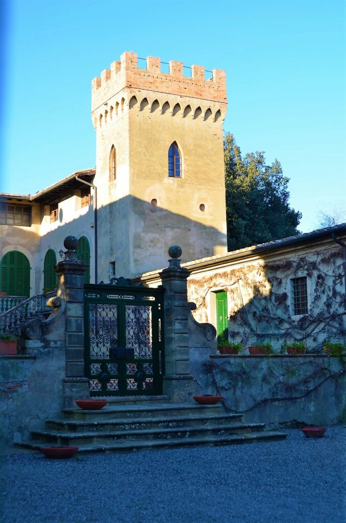
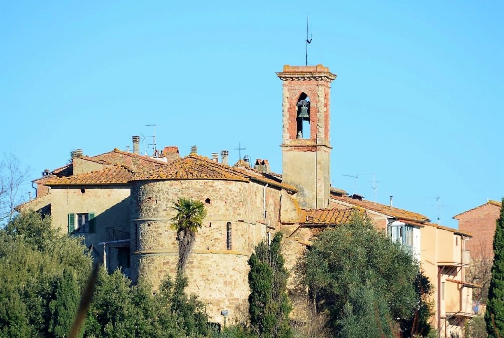
A stopover between Ghizzano and Fabbrica, Montelopio is known for the splendid Villa Mazzetti, today a tourist residence which can be visited by appointment, as well as for the Chapel of San Domenico; the hamlet is surrounded by stunning olive groves, vineyards and woods, some of the reasons why in the past Tuscan noble families chose it as their country estate.
In the final part of the town, the road widens and it is possible to park and stop to admire the panorama of the surrounding valley.
-
Villa Mazzetti – Montelopio -
Cappella di san Domenico – Montelopio
7th step– Fabbrica
Distance: 3Km
GPS Coordinates: 43.50702322956124, 10.757506488214615
Driving Instructions: Montelopio >> Via di Montelopio >> Fabbrica
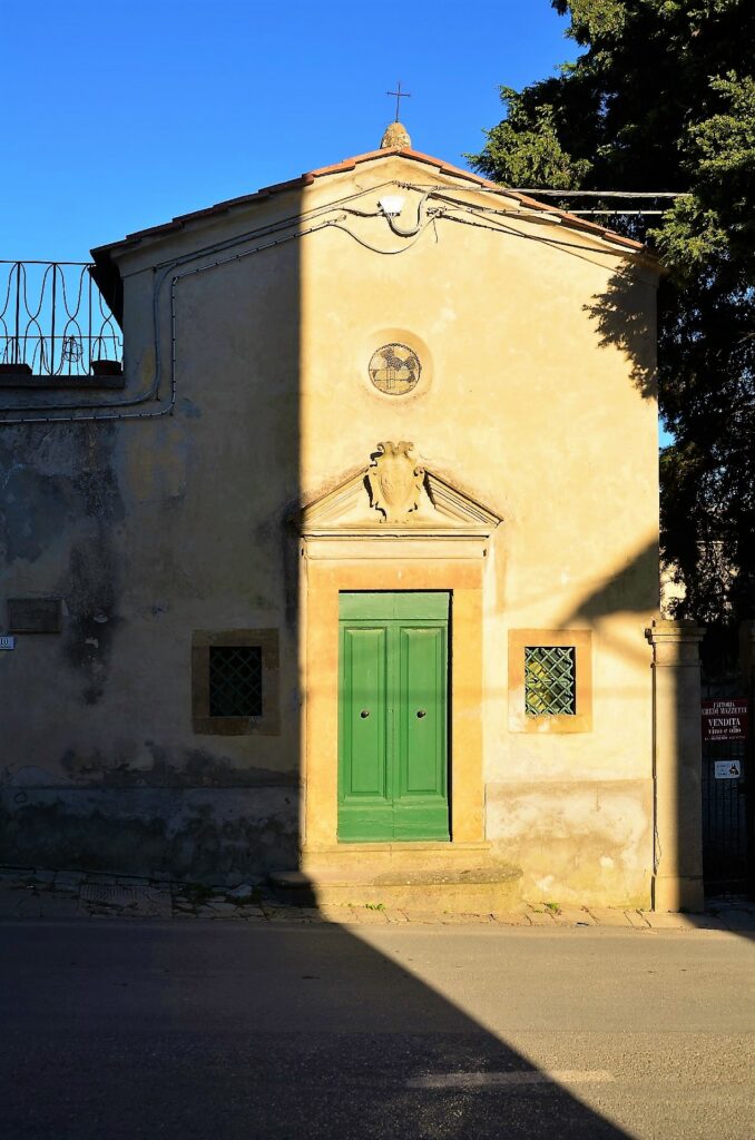
A small fortified hamlet, Fabbrica is certainly worth a visit; beside the upper part of the town, we suggest to visit the Church of Santa Maria Assunta and the Chapel of Saints Rocco and Sebastiano, with one of the stations of the itinerary “Voices”, an artistic-literary project developed in the municipality of Peccioli.
Coming from Ghizzano, we recommend that you first visit the Chapel of Saints Rocco and Sebastiano and then go on towards Montecchio, where you will find the Church of Santa Maria Assunta at the end of the town.
-
Cappella dei Santi Rocco e Sebastiano -
Senza titolo – Alberto Garutti -
Chiesa di Santa Maria Assunta
8th step – Montecchio
Distance: 3Km
GPS Coordinates: 43.526406682404065, 10.738970369983425
Driving Instructions: Fabbrica >> Via di Fabbrica >> Montecchio
The last stop on this itinerary before returning to Peccioli is the hamlet of Montecchio, a small medieval village inhabited since Etruscan times, as testified by some finds visible today in the Archaeological Museum in Peccioli.
Besides the typical medieval structure, the Church of Saints Lucia and Pancrazio and the permanent installation “Rilievi” by Umberto Cavenago, in the main street of the town, are certainly worth a visit.
-
Il borgo -
Chiesa dei Santi Lucia e Pancrazio -
Rilievi – Umberto Cavenago
9th step – Return to Peccioli
Distance: 5Km
GPS Coordinates: 43.54764118024735, 10.720366286391279
Driving Instructions: Montecchio >> Via del Molino >> Peccioli
Once again in Peccioli, our itinerary comes to an end: here you can stay in one of the many farmhouses in the surroundings.